![](/images/other/stat-length.png)
![Tour Wandern Le Glaizil - 20190528_Chapeau de l'évêque via Le Glaizil - Photo](https://media.geolcdn.com/t/1900/400/ea70badd-d667-47d7-be30-49da918fa297.jpg&format=pjpeg&maxdim=2)
20190528_Chapeau de l'évêque via Le Glaizil
PapouBertrand
Benutzer
![Länge](/images/other/stat-length.png)
![Maximale Höhe](https://static1.geolcdn.com/siteimages/upload/files/1508320355ic_sort_altitude_max_24dp.png)
![Positive Höhendifferenz](https://static1.geolcdn.com/siteimages/upload/files/1508320355ic_sort_den_pos_24dp.png)
![Km-Effort](/images/other/stat-length.png)
![Min. Höhe](https://static1.geolcdn.com/siteimages/upload/files/1508320355ic_sort_altitude_min_24dp.png)
![Negative Höhendifferenz](https://static1.geolcdn.com/siteimages/upload/files/1508320355ic_sort_den_neg_24dp.png)
![Boucle](https://static1.geolcdn.com/siteimages/upload/files/16400158638029165_repeat_loop_refresh_sync_direction_icon.png)
![Wandern](https://static1.geolcdn.com/sitytour/trail-icons/101.png)
4h46
Schwierigkeit : Medium
![Scannen Sie diesen QR-Code, um die Tour in der SityTrail-Anwendung zu öffnen](https://capi.geolives.com/qq0zvz2zws4bq2lad0pu/sitytour/trails/2097011/qr.png?size=200)
Kostenlosegpshiking-Anwendung
Über SityTrail
Tour Wandern von 10,8 km verfügbar auf Provence-Alpes-Côte d'Azur, Hochalpen, Le Glaizil. Diese Tour wird von PapouBertrand vorgeschlagen.
Beschreibung
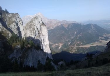
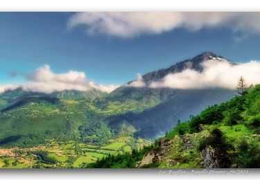
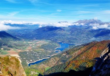
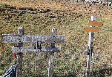
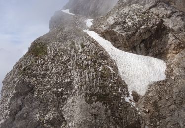
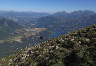
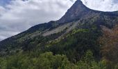
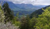
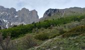
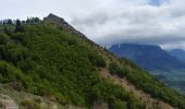
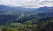
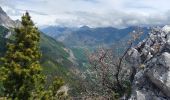
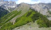
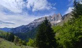
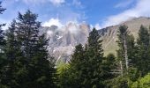
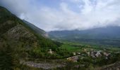
Jolie randonnée dans la Forêt du Sapet, assez facile avec une très belle vue panoramique au sommet du chapeau de l'évêque, point de vue sur les hauts sommets du Valgaudemar et panorama exceptionnel sur le Champsaur et l'entrée de l'étroite vallée du Valgaudemar. Le hameau de Lesdiguières, visible de là, abrite les ruines du château du dernier connétable de France, François de Bonne, Duc de Lesdiguières.
Ort
Kommentare
Touren in der Umgebung
![Tour Wandern Saint-Jacques-en-Valgodemard - Tour du Vieux Chaillol 1/5 - Gite Les Paris au Gite Le Casset - Photo](https://media.geolcdn.com/t/375/260/ext.jpg?maxdim=2&url=https%3A%2F%2Fservices.sitytrail.com%2FGeolivesWS%2FDownloadMedia.ashx%3FTrailID%3D110177%26Media%3D5385_2.jpg)
![Wandern Wandern](https://static1.geolcdn.com/sitytour/trail-icons/101.png)
Wandern
![](/images/other/stat-length.png)
![](https://static1.geolcdn.com/siteimages/upload/files/16400158638029165_repeat_loop_refresh_sync_direction_icon.png)
![Tour Wandern Le Dévoluy - Le Faraut. Pic pierroux - Photo](https://media.geolcdn.com/t/375/260/f70077a3-127b-4a4c-a1bb-36cf90d608f0.jpg&format=jpg&maxdim=2)
![Wandern Wandern](https://static1.geolcdn.com/sitytour/trail-icons/101.png)
Wandern
![](/images/other/stat-length.png)
![](https://static1.geolcdn.com/siteimages/upload/files/16400158638029165_repeat_loop_refresh_sync_direction_icon.png)
![Tour Wandern Aubessagne - Aiguille_Péoume_Via_Lac_Roaffan - Photo](https://media.geolcdn.com/t/375/260/4f886363-c9aa-4398-ba00-b9eb10a848b9.jpg&format=jpg&maxdim=2)
![Wandern Wandern](https://static1.geolcdn.com/sitytour/trail-icons/101.png)
Wandern
![](/images/other/stat-length.png)
![](https://static1.geolcdn.com/siteimages/upload/files/16400158638029165_repeat_loop_refresh_sync_direction_icon.png)
![Tour Wandern Le Dévoluy - Pic Perrioux Via le Collet (St Disdier) - Photo](https://media.geolcdn.com/t/375/260/ca1eb3be-3733-4684-9866-6ea4514e8998.jpg&format=jpg&maxdim=2)
![Wandern Wandern](https://static1.geolcdn.com/sitytour/trail-icons/101.png)
Wandern
![](/images/other/stat-length.png)
![](https://static1.geolcdn.com/siteimages/upload/files/16400158638029165_repeat_loop_refresh_sync_direction_icon.png)
![Tour Wandern Saint-Firmin - Les pres hauts 6 kms - Photo](https://media.geolcdn.com/t/375/260/acf69bfd-b45f-4a67-8613-3852a16cd78f.jpg&format=jpg&maxdim=2)
![Wandern Wandern](https://static1.geolcdn.com/sitytour/trail-icons/101.png)
Wandern
![](/images/other/stat-length.png)
![](https://static1.geolcdn.com/siteimages/upload/files/16400158638029165_repeat_loop_refresh_sync_direction_icon.png)
![Tour Wandern Le Glaizil - Chapeau de l'évêque via le Glaizil - Photo](https://media.geolcdn.com/t/375/260/4547cba4-2d7b-4a86-be10-1613c25f7722.jpg&format=jpg&maxdim=2)
![Wandern Wandern](https://static1.geolcdn.com/sitytour/trail-icons/101.png)
Wandern
![](/images/other/stat-length.png)
![](https://static1.geolcdn.com/siteimages/upload/files/16400158638029165_repeat_loop_refresh_sync_direction_icon.png)
![Tour Wandern Le Dévoluy - pic pierroux - Photo](https://media.geolcdn.com/t/375/260/ec556df4-6383-4671-8846-2cd49a9a90db.jpg&format=jpg&maxdim=2)
![Wandern Wandern](https://static1.geolcdn.com/sitytour/trail-icons/101.png)
Wandern
![](/images/other/stat-length.png)
![](https://static1.geolcdn.com/siteimages/upload/files/16400158638029165_repeat_loop_refresh_sync_direction_icon.png)
![Wandern Wandern](https://static1.geolcdn.com/sitytour/trail-icons/101.png)
Wandern
![](/images/other/stat-length.png)
![](https://static1.geolcdn.com/siteimages/upload/files/16400158638029165_repeat_loop_refresh_sync_direction_icon.png)
![Wandern Wandern](https://static1.geolcdn.com/sitytour/trail-icons/101.png)
Wandern
![](/images/other/stat-length.png)
![](https://static1.geolcdn.com/siteimages/upload/files/16400158638029165_repeat_loop_refresh_sync_direction_icon.png)